


maps 5 & 6 appalachian trail across maryland and entire catoctin trail (2009)
$3 $11
Size
This item is sold
Like and save for later
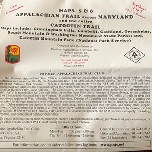
This map (Maps 5 & 6 Appalachian Trail across Maryland and the entire Catoctin Trail) covers Maryland Sections 1 through 7 (40.5 miles) of the A.T. as described in the A.T. Guide for Maryland and Northern Virginia. Printed on water-resistant, tear-resistance synthetic stock in 6 colors, the map shows UTM grid lines 5-KM apart on NAD83 datum making the map easier to use for those with GPS receivers. The map features the entire blue-blazed Catoctin Trail and all trails in the Catoctin Mountain Park (National Park Service) and the Cunningham Falls State Park. The scale is 1:63,360 and the contour interval is 100 feet.
Map: Waterproof plastic
Publisher: Potomac Appalachian Trail Club, 18th Edition (2009)
Shipping/Discount
Posh Protect: Buyer Protection Policy
Get your order as described or receive your money back. Learn More.


amethyst_waves
and
one other
like this
1 Comment

dzndva
Hi, what size is this map when fully opened? Thanks
May 02Reply


Find Similar Listings
About the seller

@brian_b_19
Last Active: May 20
San Juan, TX
46
Listings10+
Sold Listings2 days
Avg. Ship time1
Love Notes


About the seller
@brian_b_19
Last Active: May 20
San Juan, TX
46
Listings10+
Sold Listings2 days
Avg. Ship time1
Love Notes